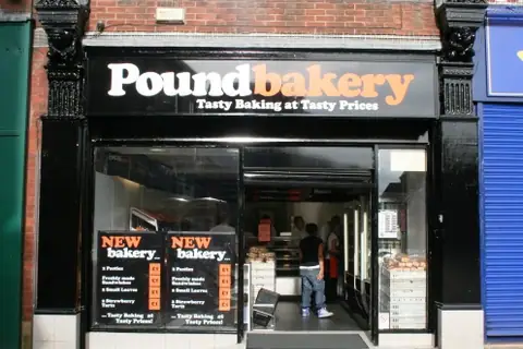
Bakery · Derker, Oldham
How to get to Greenwoods
Greenwoods is at Vulcan Street, Oldham, about 1.2 mi north-east of central Oldham. Tap the map to start navigation on your phone.
Address
GreenwoodsVulcan Street
Oldham
GPS: 53.55198, -2.09226
Open in your maps app
Hours not listedBy public transport
No railway, tram or Underground station within 3 km. Local buses, cycling or driving are the practical options.
Distance from nearby towns
| From | Distance | By car* |
|---|---|---|
| Oldham (centre) | 1.2 mi | ~4 min |
| Royton | 1.6 mi | ~5 min |
| Shaw | 1.8 mi | ~6 min |
| Chadderton | 1.9 mi | ~6 min |
| Mossley | 3.5 mi | ~12 min |
| Failsworth | 4.2 mi | ~14 min |
*Rough estimate at an average 40 km/h including town traffic.